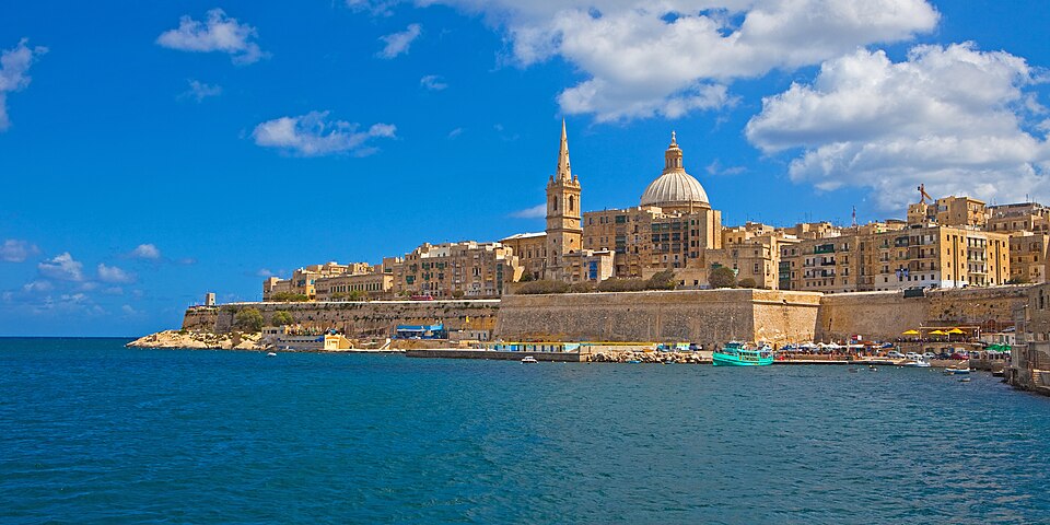
- State Party
- Malta
- Region
- Arab States
- Year of inscription
- 1980
- Type
- Cultural
- Area of property
- 80 ha
- Location
- Port Region
- What it is
- city, local council of Malta
- Founded or built
- 1566
- Elevation
- 56 m
- Landform
- Malta
- Next to
- Mediterranean Sea
- Reference
- WHC 131 · Wikidata Q23800
nearby
Closest World Heritage sites
Straight-line distance between the recorded coordinates.
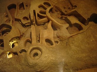 3.2 kmHypogeum of Ħal SaflieniMalta · 1980Cultural
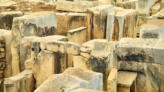 28 kmMegalithic Temples of MaltaMalta · 1980Cultural
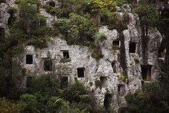 147 kmSyracuse and the Rocky Necropolis of PantalicaItaly · 2005Cultural
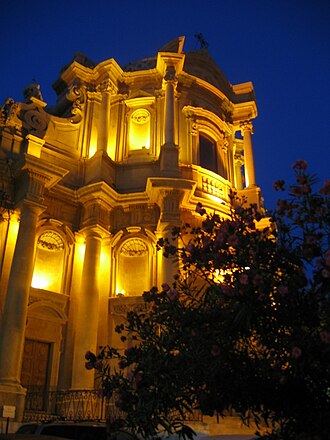 149 kmLate Baroque Towns of the Val di NotoItaly · 2002Cultural
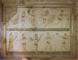 164 kmVilla Romana del CasaleItaly · 1997Cultural
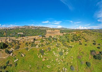 175 kmValle dei TempliItaly · 1997Cultural
Malta
More sites in Malta
1980
Also inscribed in 1980
Data: Wikidata (CC0) · danger list as published in 2026 · independent atlas, not affiliated with UNESCO or Petit Futé.